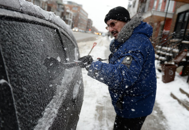
MONTREAL | Between seven and 12 mm of ice fell on the greater Montreal area on Tuesday, to the chagrin of motorists and pedestrians who had to be extra careful throughout the day.
The storm, announced several days in advance, initially left between four and eight centimeters of snow on Monday night in southwestern Quebec, said Benoit Marquis, Meteorologist at Environment Canada.
The flakes, however, quickly changed to ice pellets and ice storms during the night from Monday to Tuesday.
Et maintenant?
The last droplets of freezing rain were expected early in the evening in Montreal. “It is not impossible that we have a momentary rise in temperatures at the beginning of the night,” said Benoit Marquis, mentioning that the mercury could rise above the freezing point.
The mild weather will be quickly chased by a system of high pressure that will settle Wednesday. The sun will be honored until the end of the week, with temperatures in seasonal values.
“We have another system coming from the west that could bring some precipitation, but nothing major,” said Marquis.
The next depression to watch should not be in Quebec before Sunday or Monday, said the meteorologist.
The snow that fell on the metropolis, however, served the cause of the snow clearing teams, who, in some places, let the snow absorb the freezing rain, thus avoiding to turn the roads into an ice rink.
Further east, precipitation fell as snow during the day. The ice storm, however, had to catch up with Bas-Saint-Laurent and Gaspésie, as well as part of the North Shore, during the evening and the night.