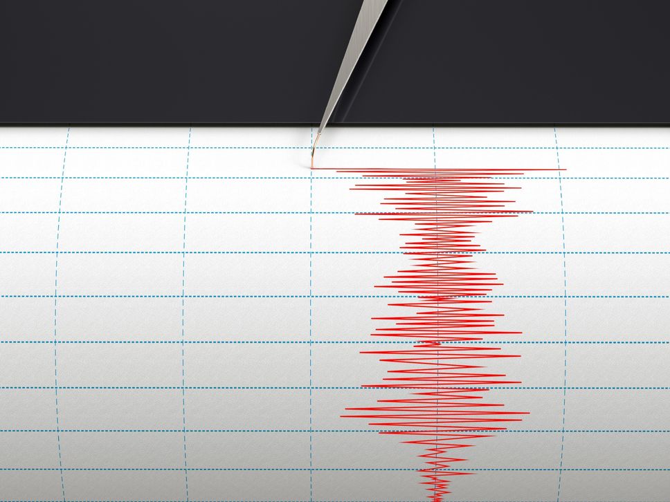
A magnitude 6.4 earthquake was recorded Tuesday off the Indonesian archipelago of Maluku, Indonesia, triggering a tsunami warning quickly lifted, according to seismological agencies.
The earthquake occurred at 8:14 pm GMT, 171 kilometers deep, under the Banda Sea, according to the USGS Seismological Service.
A tsunami warning was triggered by the Indian Ocean Tsunami Warning and Mitigation System (IOTWS). In a second bulletin issued shortly after, the agency raised the alert, saying there was “no threat to the countries of the Indian Ocean.”
The epicenter is located in a sparsely populated area of the Banda Sea, 222 kilometers north-west of the Indonesian islands of Tanimbar and 380 kilometers from Ambon, capital of Maluku province.
An earthquake of 6.1 had occurred nearby on February 26 and had not caused any damage.
Indonesia is located on the Pacific “belt of fire”, where tectonic plates meet, a source of frequent seismic and volcanic activity.
In December 2004, the Indonesian province of Aceh on Sumatra was hit by a magnitude 9.1 earthquake, followed by a tsunami that left 170,000 dead.